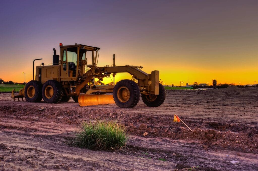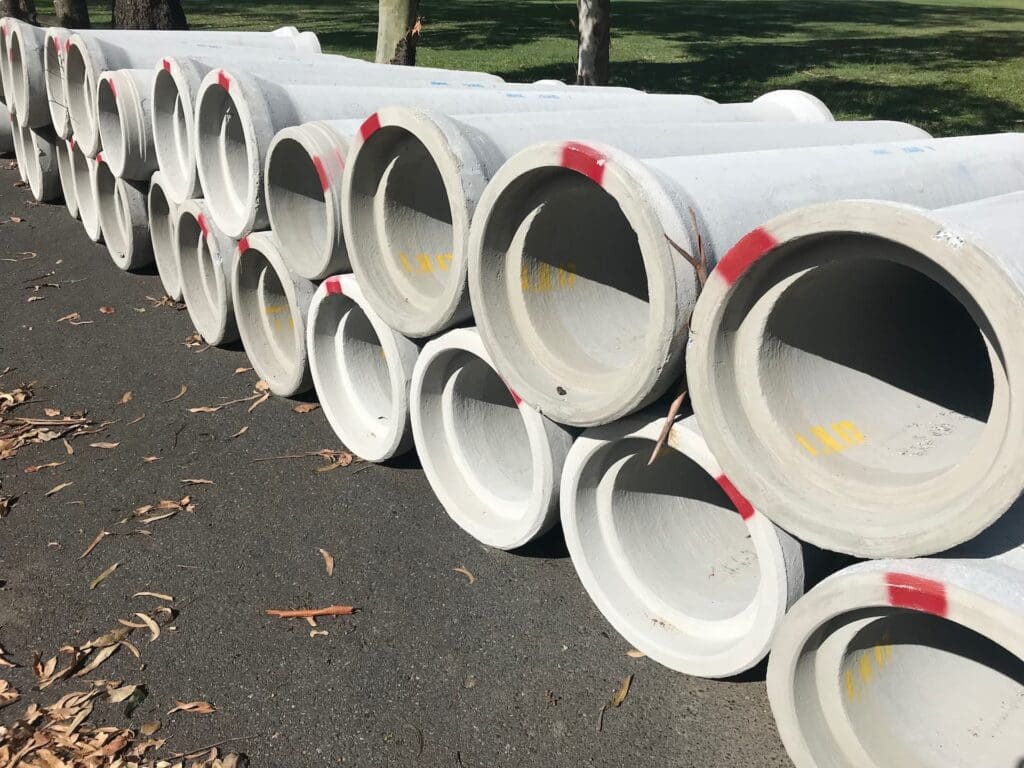

Reliable, high quality engineering solutions
Lastest Posts
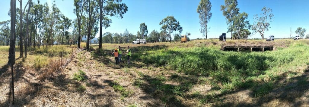
Catch up on the latest news and happenings in and around WMS.


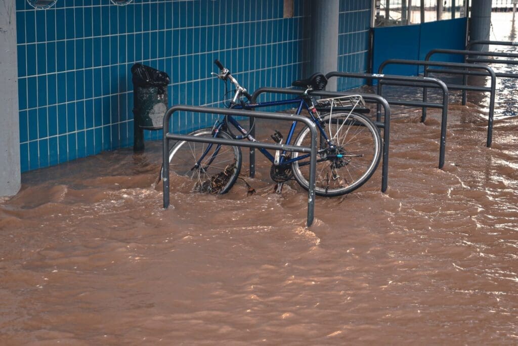
Let’s cover flood insurance

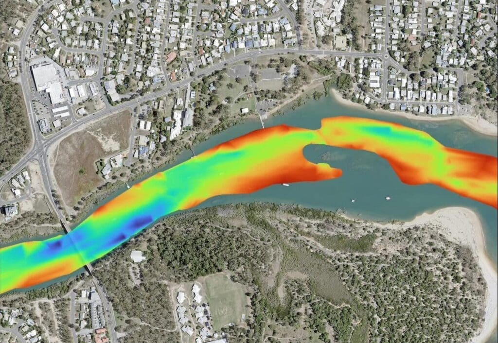
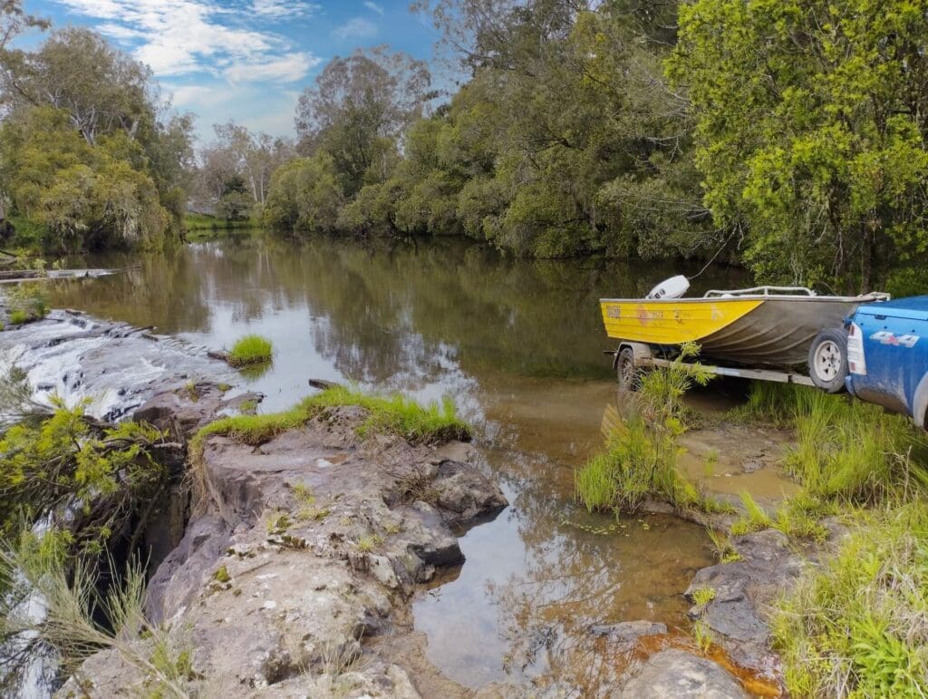
Charting Sustainable Waters | WMS’ Holistic Approach to Responsible Dredging
We would recommend them in a heartbeat
We have not faced any hurdles with WMS on our projects. They have always responded to any queries raised by our clients in a very professional and timely manner and have also gone out of their way to satisfy our clients. We would recommend them in a heartbeat. In fact, we have been recommending them to our clients where the need arises.
Neil Kumar
Senior Geologist
Entec
The thing that separates us from the others is that with WMS...
You can consider it done
Quality Solutions
Delivered to the highest standards, every time.
They always provide a very high standard of service
Toowoomba Regional Council has used WMS Engineering on many occasions over the years. They always provide a very high standard of service and quality of work. I would have no hesitation in recommending Water Modelling Solutions to anyone requiring specialist hydraulic engineering services.
Heath Martin
Principal Planner
Toowoomba Regional Council
We’d love to solve your next engineering challenge.
Contact Us