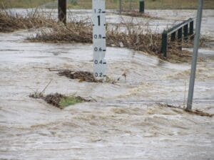
Local Government
WMS has serviced local government clients since its inception in 2012. We partner with Councils to fully understand the issues being faced and bring about safe, sustainable solutions that meet the needs of both Council and the community. We understand that flooding and drainage issues do not exist in isolation, and our team is able to span various council departments to ensure civil solutions meet a range of required outcomes.
We offer a range of service options to Local Governments, including:
Secondments
- Strategic assessment management.
- Capital and Operational Works Planning.
- Flood model results extraction and mapping/data management.
- Review of development applications.
Drainage Management
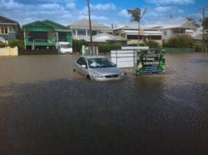
- 1D and 2D flood modelling and mapping.
- Prioritisation of capital works.
- Flood impact assessments.
Flood Forecasting
- Development of flood forecasting models.
- Integration with flood forecasting platforms.
Capital Works
- Review of flood impacts.
- Drainage network analysis and culvert sizing.
- Scour protection.
About to start a project? Get a quote today.
Get a Quote
Related Projects

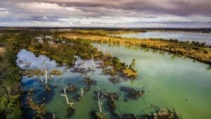
Parks Victoria
Buchan Caves Reserve – Flood Modelling
Hydraulic assessment to inform post-disaster restoration
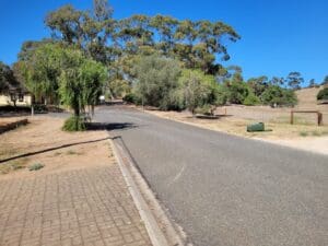
Isaac Regional Council
Design of Drummond Creek Floodway
A new floodway design improving flood immunity whilst maintaining design speed requirements
NSW Department of Planning, Industry and Environment (DPIE)
Murray Land & Water Management
NSW DPIE engaged WMS to update the Murray LWMP salinity modelling framework using contemporary platforms

Moree Plains Shire Council
Pallamallawa Levee Design Review
WMS partnered with Dryside Engineering to deliver the Pallamallawa Northern Levee Second Design Review
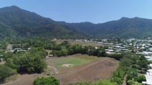
Cairns Regional Council
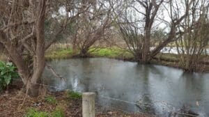
McKinnon Creek Detention Basin Failure Impact Assessment
WMS was engaged to undertake a comprehensive Failure Impact Assessment (FIA) for the McKinnon Creek Detention Basin
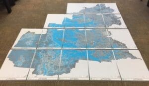
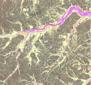
Toowoomba Regional Council
Whole of LGA Flood Mapping
A Rapid, Low Cost Alternative to Detailed Flood Studies
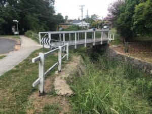
Brisbane City Council
Hay Street Pedestrian Bridge Replacement
The objective of this project was to undertake hydraulic modelling and flood impact assessment to inform the design of the new bridge.
Charters Towers Regional Council
Charters Towers Retention Basin Modelling
Feasibility Assessment of Two Proposed Retention Basins
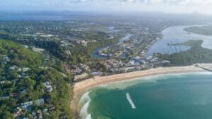
Sunshine Coast Regional Council (SCRC)
Sunshine Coast Extreme Flood Hazard Mapping
Filling a Knowledge Gap on Flood Severity in Rare Events
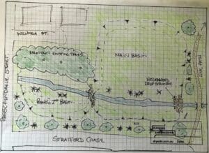
City of Greater Bendigo Council
Kangaroo Flat and Golden Square Flood Mitigation Study
A wonderful collaboration between government bodies, experts and the community that delivered effective solutions to mitigate future flood events.
Cairns Regional Council
Jalarra Park Detention Basin
WMS teamed up with civil engineering firm Dryside Engineering to deliver the FIA and detailed design of the basin.