Latrobe Valley Stormwater Study | WMS Engineering
1/29 George St, Moe VIC 3825, Australia

Latrobe Valley Stormwater Study

Urban stormwater study focusing on the townships of Traralgon, Morwell, Moe, and Newborough
Ashley
Questions? Get in touch today.
Ashley Chen

Client

Latrobe City Council

Scope

Identify undocumented overland flow paths, assess flooding, and made recomendations for Latrobe Valley catchments.

Impact

Sustainable flood risk management strategies for Traralgon, Morwell, Moe, and Newborough.
Latrobe Aerial View 1

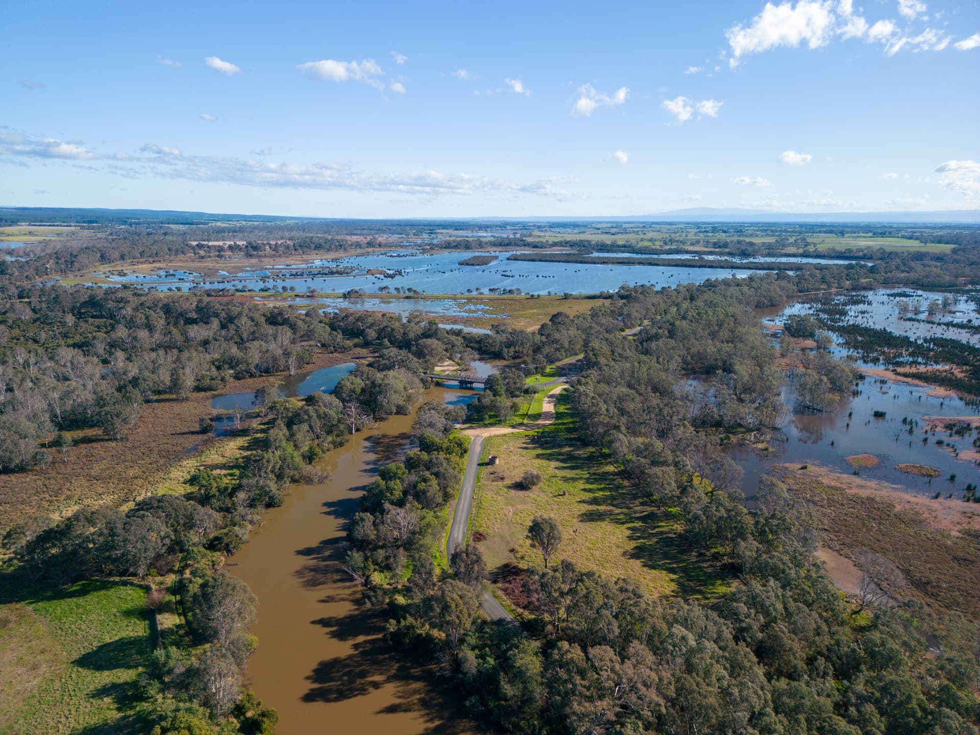
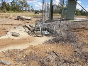
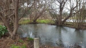
Latrobe City Council engaged WMS Engineering to conduct an urban stormwater study across several locations within the Latrobe Valley, focusing on the townships of Traralgon, Morwell, Moe, and Newborough. The primary objective was to identify undocumented overland flow paths and assess areas requiring future maintenance works. This study provided valuable insights into flooding risks within key catchments, including the Traralgon Creek, Loy Yang Creek, Boyd’s Creek, Waterhole Creek, and Narracan Creek, which impact both urban and rural areas.

WMS Engineering completed a hydraulic analysis to evaluate the flooding nature in Traralgon, Moe, and Newborough, with further work planned for Morwell following the completion of the Waterhole Creek Flood Study. The findings revealed that several watercourses, such as Traralgon Creek and Loy Yang Creek, were causing flooding due to embankment overtopping and insufficient creek capacity. Similarly, Narracan Creek was identified as contributing to inundation along the Princes Highway and adjacent properties in Moe and Newborough.

Latrobe Aerial View 2

The study helped Latrobe City Council prioritise areas for infrastructure improvements and maintenance, especially in flood-prone zones. This assessment provided critical information to mitigate flooding risks and improve flood management strategies for the Latrobe Valley’s urban development.

Related Projects

Charters Towers river flood map
Charters Towers Regional Council

Charters Towers Retention Basin Modelling

Feasibility Assessment of Two Proposed Retention Basins
murray basin
NSW Department of Planning, Industry and Environment (DPIE)

Murray Land & Water Management

NSW DPIE engaged WMS to update the Murray LWMP salinity modelling framework using contemporary platforms
icubed consulting

Witmack Road Power Facility Flood Assessment

Port Adelaide Map Area
City of Port Adelaide Enfield

Port Adelaide Pump Station Tender

Feasibility study for two new pump stations and associated trunk drainage in the Port Centre Catchment
Toowomba Second Range Crossing
Toowoomba Regional Council

Toowoomba Second Range Crossing

Infrastructure of national significance
Glenelg Hopkins Catchment Management Authority

Port Fairy Hydraulic Model Review

Noosa Aerial photo
Sunshine Coast Council

Sunshine LGA Road Immunity Analysis

Semi-automated Tool Development