Summerfield BESS Flood Impact Assessment

Client
Scope
Impact
Client
Scope
Impact
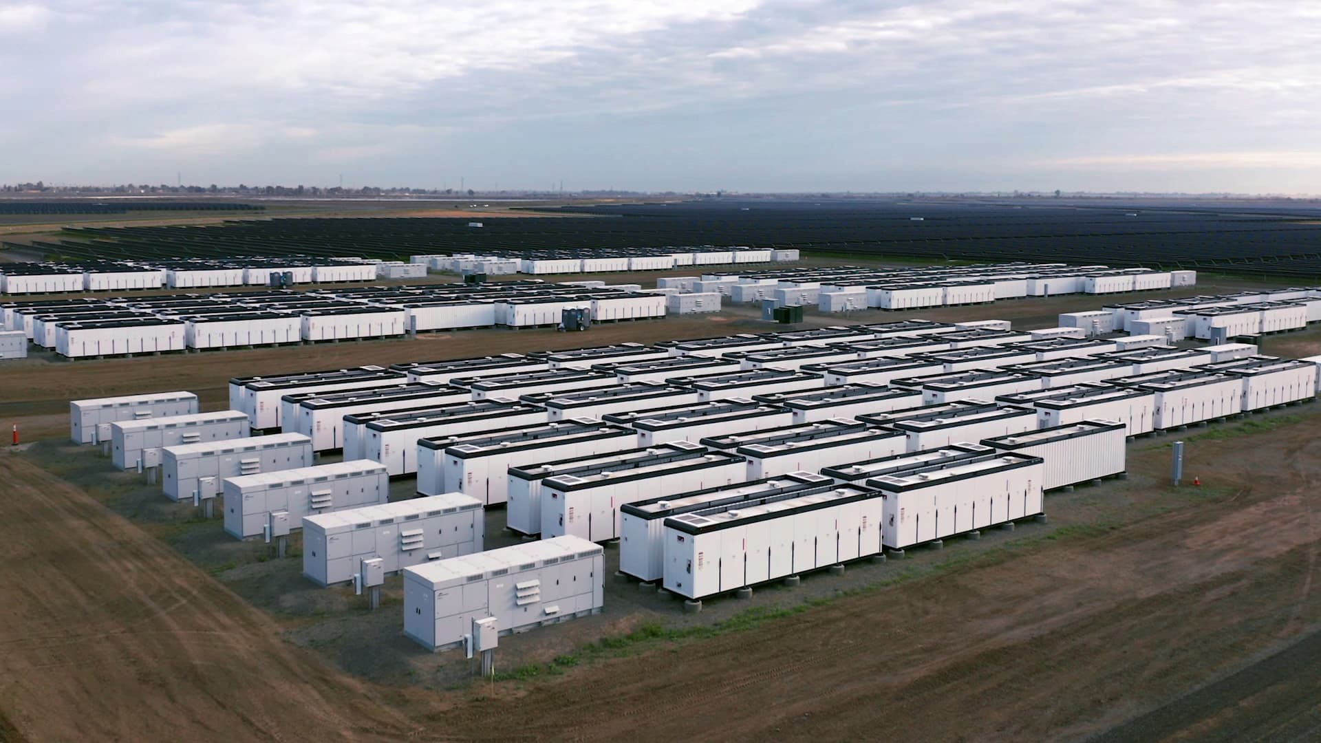
The Summerfield Battery Energy Storage System (BESS) is a proposed renewable energy project located in Tepko, South Australia. The development will feature a 240 MW BESS, gas turbine, solar farm, and related infrastructure across a 34 ha site. WMS Engineering was engaged to conduct a hydrology assessment to evaluate the flood risks and develop a stormwater management plan for the site. The project aimed to identify potential flood impacts both pre- and post-development, with a focus on minimised risks to infrastructure and surrounding areas.
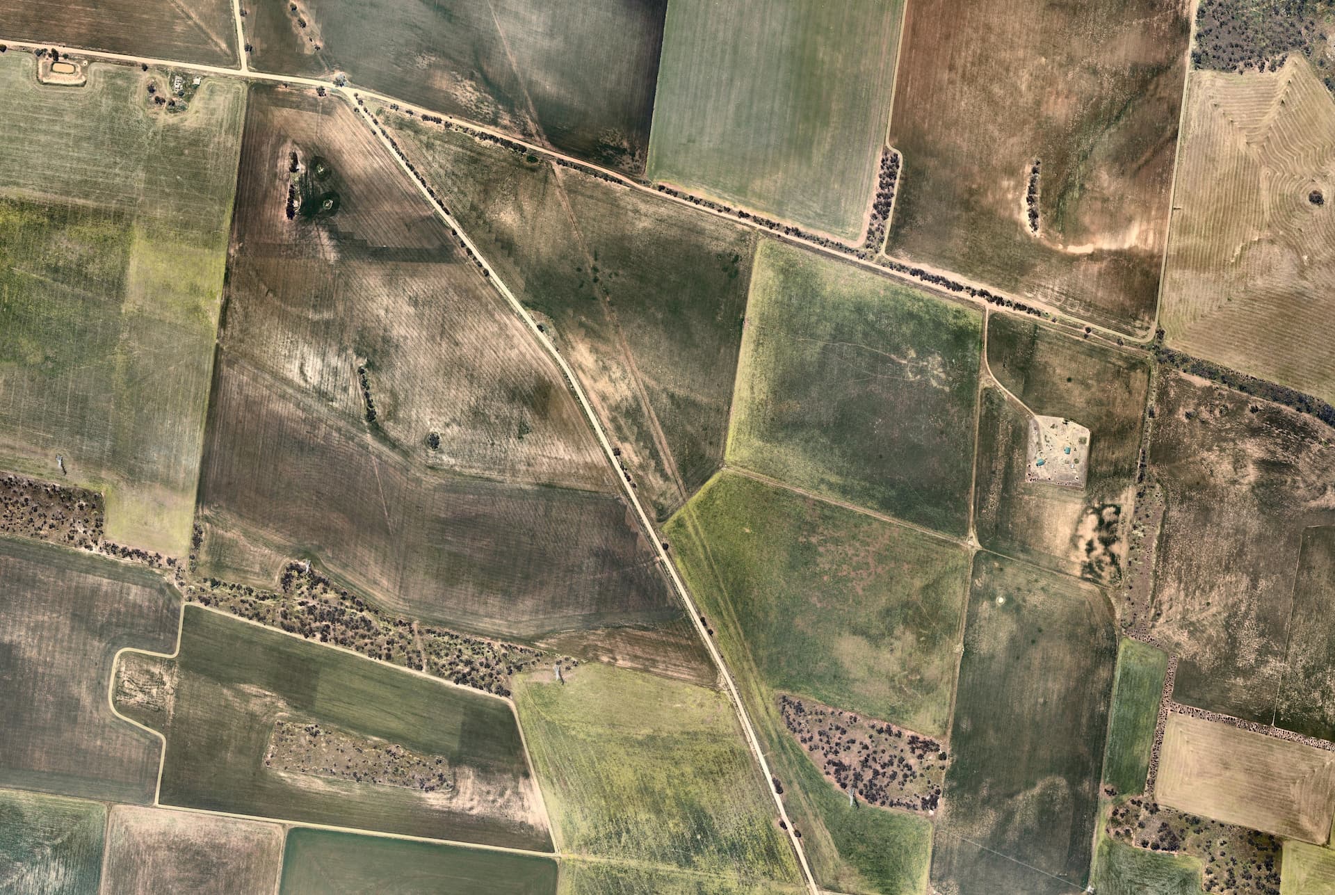
WMS conducted a comprehensive flood investigation using a TUFLOW hydraulic model to simulate flood behavior on the site, as seen in the images below. The study involved a rain-on-grid ensemble approach, incorporating site survey data and SRTM topographic data. The flood modelling was performed for various storm events, including the 1%, 2%, 5%, and 10% Annual Exceedance Probability (AEP) events. Key findings included low surface water risks, with the primary concern being the potential for infrastructure to obstruct the main creek reach. The study also confirmed that the project would not cause adverse flooding impacts on neighboring properties.
The hydrology assessment included recommendations for the detailed design phase, such as the construction of culverts or floodways at the access road to maintain flow and reduce flood risk. Additionally, suggestions were made to the access road to ensure optimal runoff management, and infrastructure pads to avoid frequent ponding. While the study used coarse resolution data and regional assumptions due to limited data availability, it layed the foundation for more detailed assessments using higher resolution terrain data in the future.
Want to discuss a similar project? Get a quote today.
Get a Quote