The land down under is a beautiful place, and beneath bodies of waters – such as creeks and dams – that our towns are nestled around, lies important information that helps us keep it that way.
But how do we access this environment-saving information? Enter: bathymetric surveys.
Bathymetric surveys are a type of hydrographic survey that map the depths and shapes of underwater terrain. Through methods like sonar, echo sounders, or airborne laser measurements, soundwaves are generated to measure size and identify any structures and anomalies below the water. They can even chart ocean movements, giving us data on our shorelines, tides, currents, and waves.
Considering we live in a country prone to adverse weather events and unpredictable climate shifts, bathymetric surveys are key in helping us predict how the water bodies we rely on will behave across time.
At Water Modelling Solutions we have extensive experience in successfully delivering bathymetric surveys for clients across Australia. Here are just a few examples of how bathymetric data plays a vital role in keeping Aussies, their homes and businesses safe, resilient and prepared.
Mapping the Tenterfield Dam
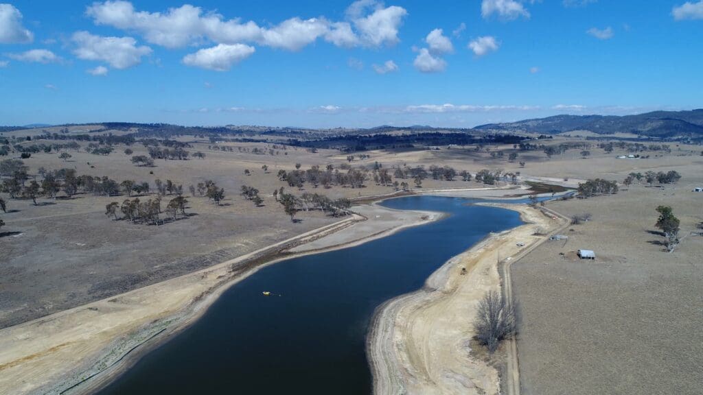
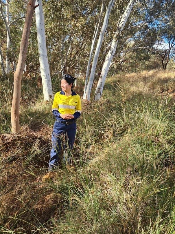
Tenterfield Dam is the lifeline for Tenterfield, a town that faced the worst drought on record in 2019. Keeping this front of mind, our expert hydrologists conducted a bathymetric survey for the town using an advanced sonar and GPS system to measure the water and sediment volumes in the dam.
We then communicated our findings clearly to the Tenterfield Shire Council, thus empowering the town to make smart decisions about its water resources and future works. For extra assurance, we repeated this survey during heavy rains in 2020 to confirm that the dam was still in good shape and had not filled up with sediment.
Armed with extensive data from our bathymetric survey, the residents of Tenterfield can count on their dam to keep providing them a steady and clean water source to keep their town and environment thriving.
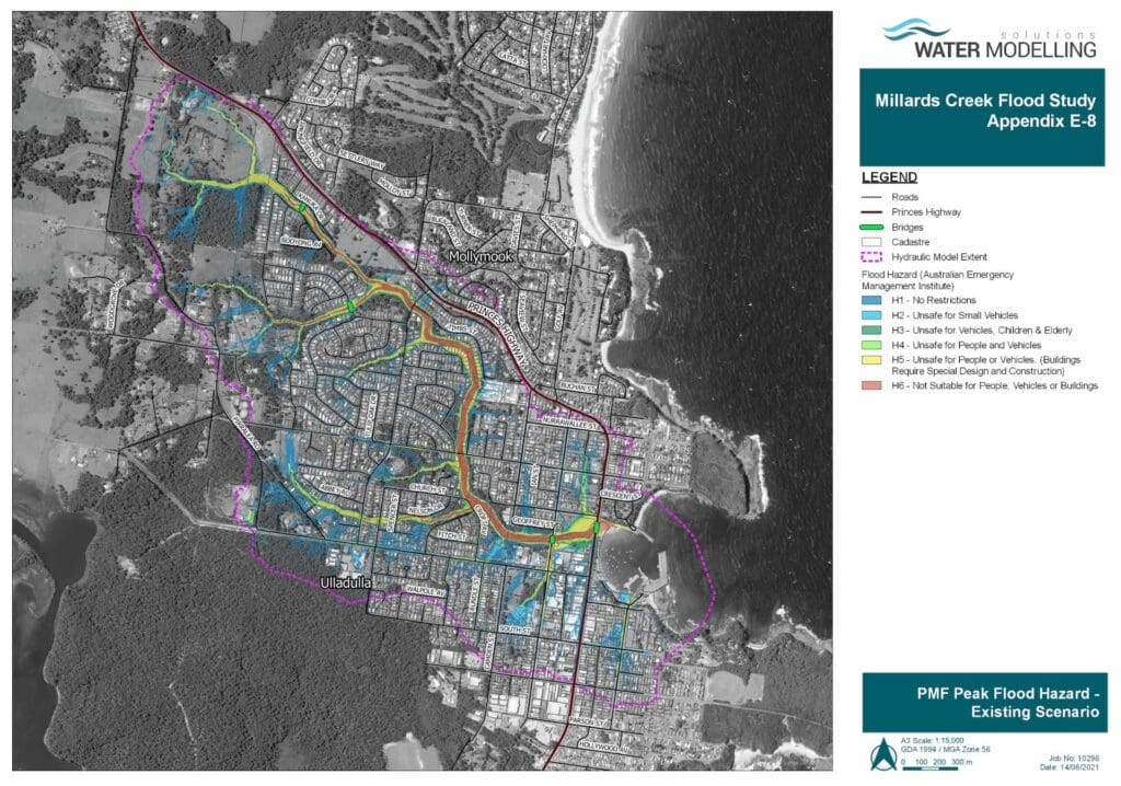
Guiding flood designs for Auckland Creek
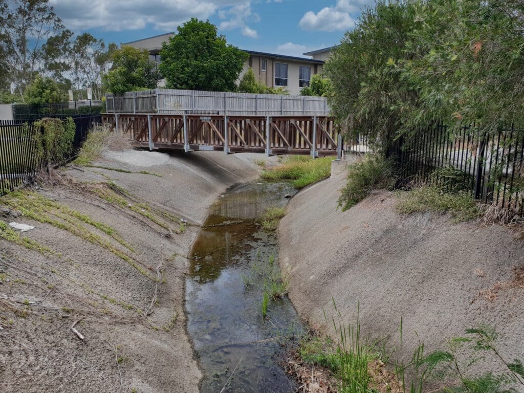
We also used bathymetric surveys in combination with flood event data to calibrate the hydrologic and hydraulic models for Auckland Creek. Using the latest and greatest ARR data and guidelines we derived new design flows and overcame some tricky challenges along the way.
Bathymetric survey data was pivotal here, as it gave us a clear picture of the creek channel and wetland areas. We used it to create a realistic and detailed hydraulic model, which shows us how water moves and floods in different situations. With some fine-tuning with real data from recent flood events, the model could become even more robust.
The study was a great success, and Gladstone Regional Council is now ready and resilient in the face of flood events with the knowledge of how Auckland Creek behaves and floods. They can also safely plan for future growth and development in the floodplain, thanks to their bathymetric survey informed hydraulic model.
These are just two examples of how we have harnessed bathymetric surveys to provide valuable insights and solutions for our clients. Whether it’s for water supply, flood mitigation, navigation, environmental protection, or any other application, Water Modelling Solutions can deliver high-quality bathymetric surveys to prepare and protect our vibrant communities and beloved land.