Auckland Creek Flood Study | WMS Engineering
Gladstone QLD, Australia

Auckland Creek Flood Study

Gladstone Regional Council commissioned WMS to update existing hydrologic and hydraulic models for Auckland Creek and undertake a new flood study of Auckland Creek.
Monika Balicki
Questions? Get in touch today.
Monika Balicki

Client

Gladstone Regional Council

Scope

Flood model update in accordance with the latest ARR guidelines

Impact

Comprehensive flood mapping and updated reliable models for use in future studies
Monika Balicki
Questions? Get in touch today.
Monika Balicki

Client

Gladstone Regional Council

Scope

Flood model update in accordance with the latest ARR guidelines

Impact

Comprehensive flood mapping and updated reliable models for use in future studies

Gladstone Regional Council commissioned WMS to update existing hydrologic and hydraulic models for Auckland Creek in accordance with the latest ARR requirements and undertake a new flood study of Auckland Creek. The most recent flood study was based on uncalibrated models and outdated industry guidance.

WMS collected bathymetric survey of Auckland Creek to improve the channel and wetland representation of the hydraulic (TUFLOW) model and extended the model domain further upstream. Once the hydraulic model was updated, two recent historical flood events were identified and the hydrologic and hydraulic models were jointly calibrated.
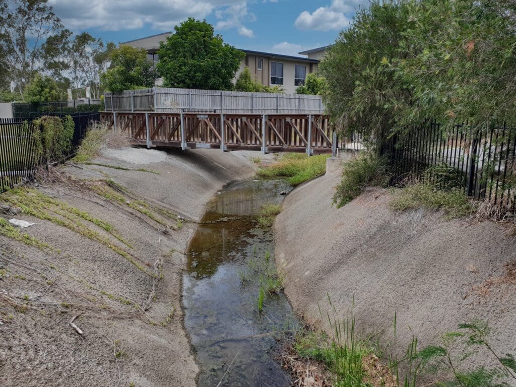
Auckland Creek
Auckland Creek

Following calibration, new design flows were derived using the latest ARR data and guidelines. The flows were validated to Regional Flood Frequency Analysis and Quantile Regression Technique. During this process it was identified that several technical deficiencies exist with the new guidance. WMS took extra time to investigate these issues and applied engineering judgement to ensure flood risks were not underestimated.
Related Projects

Local Government map
Toowoomba Regional Council

Whole of LGA Flood Mapping

A Rapid, Low Cost Alternative to Detailed Flood Studies
Tenterfield
Tenterfield Shire Council

Tenterfield Dam Bathymetric Survey

WMS conducted a highly accurate bathymetric survey using a Sontek M9 ADCP to accurately determine the volume of water remaining in the dam and the volume of sediment.
Jallara Park Drawing
Cairns Regional Council

Jalarra Park Detention Basin

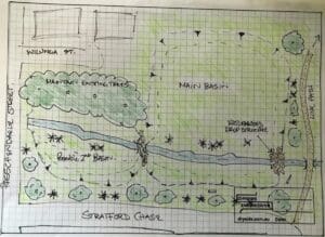
WMS teamed up with civil engineering firm Dryside Engineering to deliver the FIA and detailed design of the basin.
Charters Towers river flood map
Charters Towers Regional Council

Charters Towers Retention Basin Modelling

Feasibility Assessment of Two Proposed Retention Basins
Sunshine Coast Storm Surge
Sunshine Coast Regional Council (SCRC)

Sunshine Coast Extreme Flood Hazard Mapping

Filling a Knowledge Gap on Flood Severity in Rare Events
Water Level @ Bendigo Creek, Bay Street Golden Square
City of Greater Bendigo Council

Kangaroo Flat and Golden Square Flood Mitigation Study

A wonderful collaboration between government bodies, experts and the community that delivered effective solutions to mitigate future flood events.
Collinson McKinnon Basin
Cairns Regional Council

McKinnon Creek Detention Basin Failure Impact Assessment

WMS was engaged to undertake a comprehensive Failure Impact Assessment (FIA) for the McKinnon Creek Detention Basin