Sunshine Coast Queensland, Australia
Sunshine Coast Extreme Flood Hazard Mapping
Filling a Knowledge Gap on Flood Severity in Rare Events

Questions? Get in touch today.
Blake BoultonClient
Sunshine Coast Regional Council (SCRC)
Scope
Use of existing hydraulic models to map extreme floods
Impact
Improve flood information during extreme events
Questions? Get in touch today.
Blake BoultonClient
Sunshine Coast Regional Council (SCRC)
Scope
Use of existing hydraulic models to map extreme floods
Impact
Improve flood information during extreme events
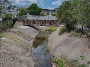
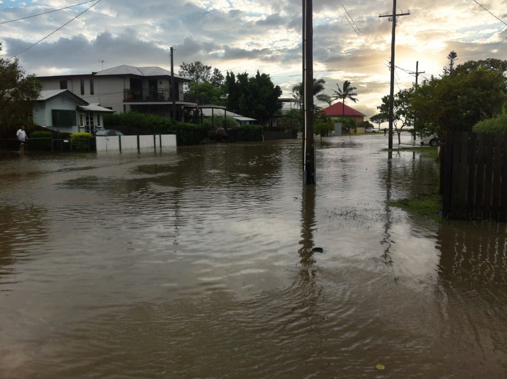
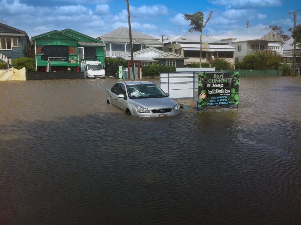
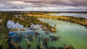
To assess their residual risk above the floor planning level, Sunshine Coast Regional Council required floodplain hazard mapping for events larger than the 1% AEP event. The areas of interest included Noosa River, Paynter Creek, Petrie Creek and Eudlo Creek. Previously hazard mapping had only been produced for events up to the 1% AEP.
WMS updated existing hydrologic (XP-RAFTS) and 1D hydraulic (MIKE 11) models to remove instabilities and reflect present day modelling techniques. The updated models were used to map flood hazard within the areas of interest for a range of rare design events. The models were also used to inform Council’s Disaster Hub and formed the basis of future flood related projects in Council.
Want to discuss a similar project? Get a quote today.
Get a Quote
Related Projects
NSW Department of Planning, Industry and Environment (DPIE)
Murray Land & Water Management
NSW DPIE engaged WMS to update the Murray LWMP salinity modelling framework using contemporary platforms
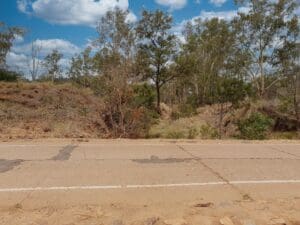
Isaac Regional Council
Design of Drummond Creek Floodway
A new floodway design improving flood immunity whilst maintaining design speed requirements
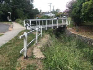
Brisbane City Council
Hay Street Pedestrian Bridge Replacement
The objective of this project was to undertake hydraulic modelling and flood impact assessment to inform the design of the new bridge.

NSW Crown Lands
Flood Impact Assessment of Crown Lands Assets
Condition Assessments and Recommendations for Remediation Actions

Moree Plains Shire Council
Pallamallawa Levee Design Review
WMS partnered with Dryside Engineering to deliver the Pallamallawa Northern Levee Second Design Review