SWIS Peaker Project | WMS Engineering
3907 Brand Hwy, Cataby WA 6507, Australia

SWIS Peaker Project

Surface water assessment
Blake Marxsen
Questions? Get in touch today.
Blake Marxsen

Client

Alinta Energy Development Pty Ltd

Scope

Regional and Local hydrological and hydraulic modelling across a 20-ha lot to inform placement of infrastructure

Impact

WMS conducted a Surface Water Assessment of the SWIS Peaker Project, evaluating existing and post-development hydrologic and hydraulic conditions. WMS confirmed that the proposed site layout would have minimal impact to regional and local hydrological regimes.
Blake Marxsen
Questions? Get in touch today.
Blake Marxsen

Client

Alinta Energy Development Pty Ltd

Scope

Regional and Local hydrological and hydraulic modelling across a 20-ha lot to inform placement of infrastructure

Impact

WMS conducted a Surface Water Assessment of the SWIS Peaker Project, evaluating existing and post-development hydrologic and hydraulic conditions. WMS confirmed that the proposed site layout would have minimal impact to regional and local hydrological regimes.

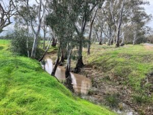
Alinta Energy Development Pty Ltd (Alinta) was investigating the option to develop approximately 400 megawatts (MW) of fast-start, open-cycle gas turbines to be connected to the South West Interconnected System (SWIS), known as the SWIS Peaker Project. The proposed location is on cleared agricultural land approximately 200 kilometres north of Perth, near the town of Cataby.

Cataby Aerial

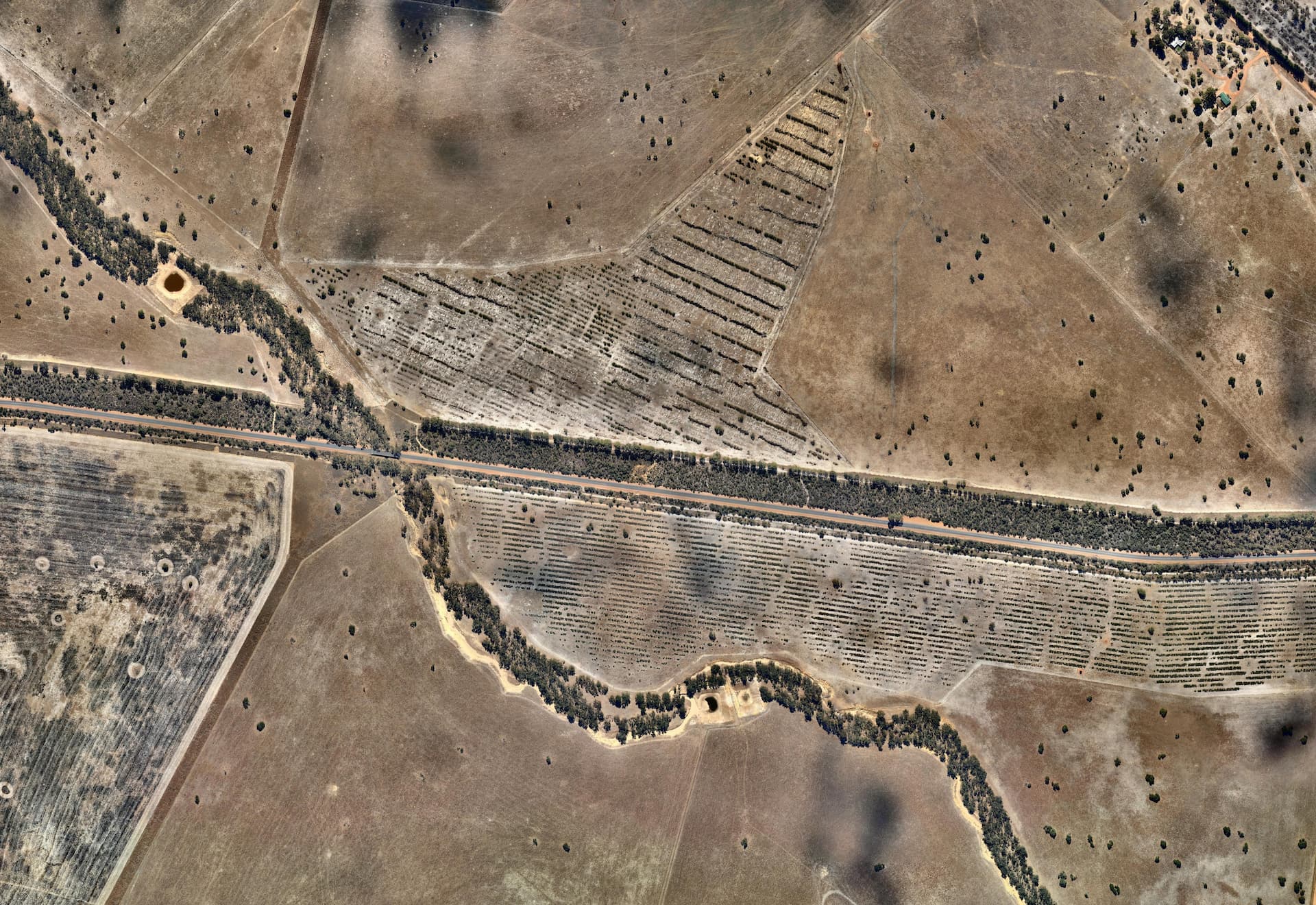
The stormwater analysis confirmed that overland runoff within the site can be managed through internal drainage systems. The risk of downstream scour and sedimentation was minimal, as flow velocities were projected to remain below critical thresholds. However, if significant alterations occur to runoff coefficients, landcover or the terrain of the Iluka mine site post-closure, diverging substantially from the pre-existing conditions, the Project may require re-evaluation. Nonetheless, it is anticipated that stormwater flows will remain below critical velocities for the 1% AEP.

The study revealed no significant or irreversible impact on inland water environmental values, indicating that the project aligns with the Environmental Protection Authority objectives to maintain surface water quality.

Related Projects

Entec

Tuvatu Gold Mine Hydrologic Investigation Review

buchan caves 1
Parks Victoria

Buchan Caves Reserve – Flood Modelling

Hydraulic assessment to inform post-disaster restoration
Queensland Rail

Kooltandra Flood Study

summerfield aerial view
iCubed Consulting Pty Ltd

Summerfield BESS Flood Impact Assessment

Hydraulic assessment to inform site layout and surface water management
SMEC

Wallsend Flood Risk Management Plan

Water Level @ Bendigo Creek, Bay Street Golden Square
City of Greater Bendigo Council

Kangaroo Flat and Golden Square Flood Mitigation Study

A wonderful collaboration between government bodies, experts and the community that delivered effective solutions to mitigate future flood events.
Toowoomba Regional Council

Cooyar Urban Stormwater Management Plan Peer Review