Survey
WMS has expanded its established bathymetric survey capability to include RTK GPS for topographic point collection and drone-based LiDAR capture.
Our inventory consists of:
- CEE-ECHO dual frequency echo sounder;
- CEE Hydrosystems transducer;
- Hemisphere S631 QPS.
- DJI Matrice 400 Drone
- Zenmuse L3 for LiDAR Capture and DRTK3 for GNSS
Our capabilities include:
- Bathymetric and topographic RTK GPS survey
- Drone LiDAR collection
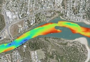
- Accurate 2D & 3D bathymetric and digital elevation models
- Bathymetric and topographic survey integration
- Volume calculations
- Dredging approval support
- Measurement of sediment depths and volumes
- Development of rating curves (Depth-Volume and Depth-Surface Area)
Our in-house survey capability offers the following benefits to your next project:
- Higher quality data for improved accuracy
- End to end accountability and stronger data integration
- Reduced project risk through less reliance on subcontractors
- Faster, more responsive survey delivery without compromise,
- Repeatable survey capability for change detection
- Opportunities to integrated bathymetric and topographic data collection
- Greater stakeholder confidence
- Targeted survey focusing on specific project requirements, eliminating unnecessary costs and delays.
About to start a project? Get a quote today.
Get a Quote