Charters Towers Retention Basin Modelling

Client
Scope
Impact
Client
Scope
Impact
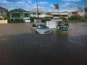
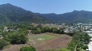
In 2015, Charters Towers Regional Council commissioned a flood study of Mosman Creek and adjacent catchments within the township of Charters Towers. As a recommendation from the flood study, two retention basins were proposed to reduce the number of vulnerable properties to more frequent flooding. The objective of this study was to undertake a flood assessment of the proposed retention basin designs; demonstrate that the proposed retention basins meet the desired flow reductions; demonstrate no adverse flood impacts to adjacent properties for a range of design events and provide relevant information for completion of design works.
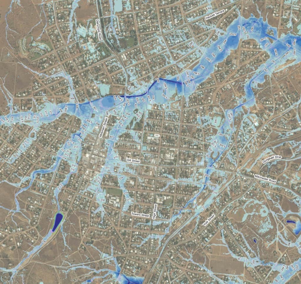
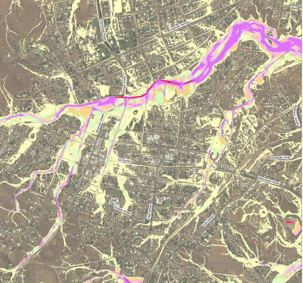
WMS revised the hydraulic (MIKE FLOOD) model developed as part of the flood study to resolve model stability issues. Peak discharges at the locations of the proposed basins were extracted from the revised model and used as inflows into a hydrologic (XP-RAFTS) model used for the preliminary basin sizing. It was found that the required basin volume at one of the proposed locations could not be achieved within the constraints of the nominated site and that there were numerous associated risks with the location that made the site unfeasible.
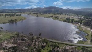
The implementation of a retention basin at the other location showed a significant reduction in peak flows downstream. The impacts of this basin were assessed by incorporating the design footprint into the developed scenario hydraulic model. The modelling results were also used to provide Council with the relevant information for the design of the spillway and low flow outlet. Advise on scour protection was also provided.
Want to discuss a similar project? Get a quote today.
Get a Quote
Related Projects
Hay Street Pedestrian Bridge Replacement
McKinnon Creek Detention Basin Failure Impact Assessment

Tenterfield Dam Bathymetric Survey