Daly St Drainage Detailed Design

Client
Scope
Impact
Client
Scope
Impact
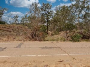
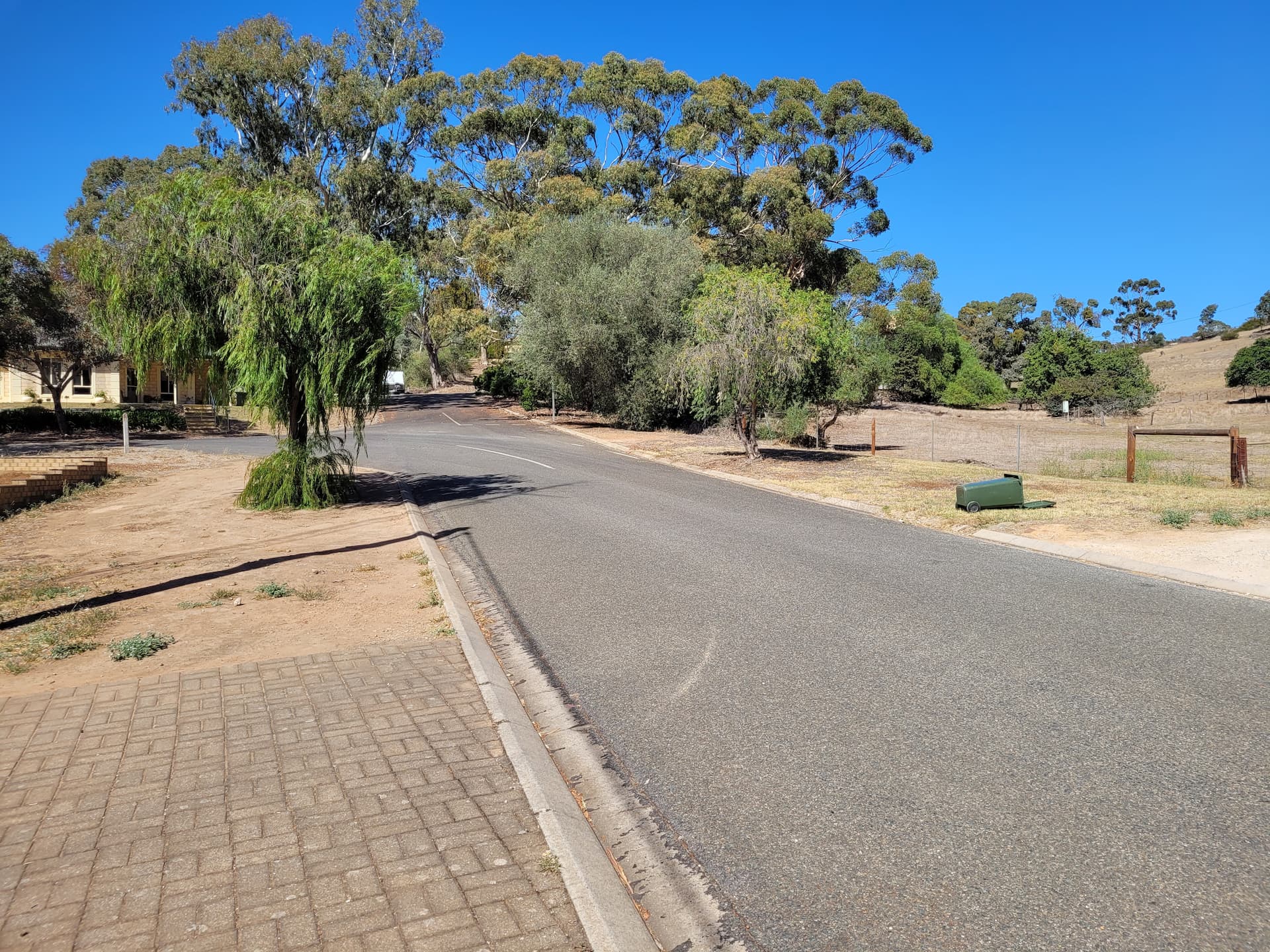
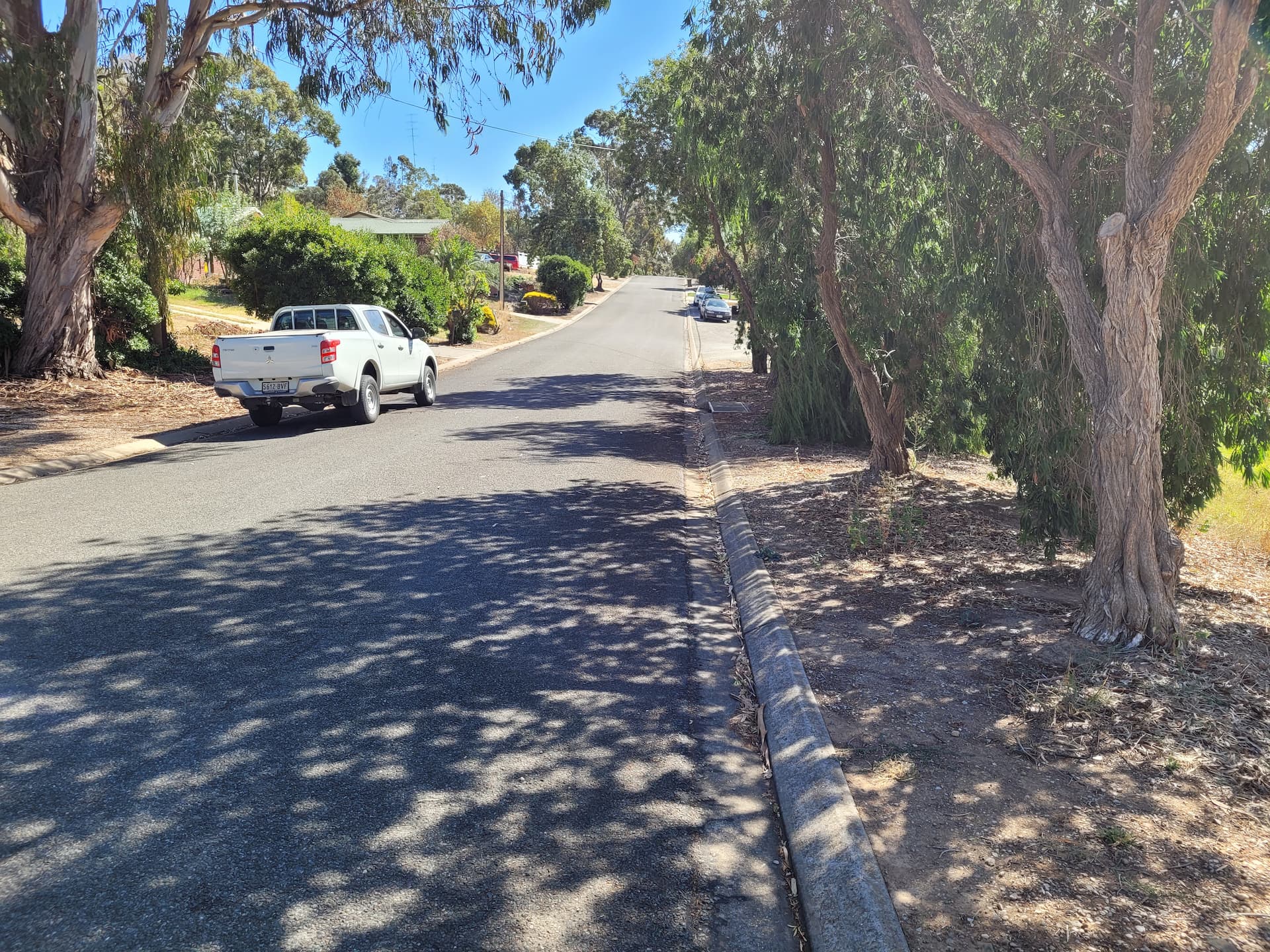
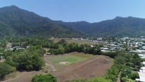
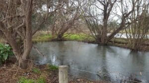
The Clare and Gilbert Valley Council, situated in the mid-north of South Australia along the Hutt River, engaged WMS through MLEI Consulting Engineers to undertake a flood mitigation study for Daly Street in Clare. The suburb of Clare, covers approximately 10 km², primarily consisting of low-density residential areas within the township and rural land around its outskirts. The study aimed to investigate flooding mechanisms within the area, model stormwater behaviour, and develop mitigation solutions that would alleviate future flooding while ensuring no adverse impacts downstream.
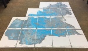
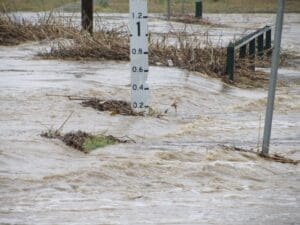
As part of the study, WMS assessed and modelled the existing stormwater conditions for the 1% and 10% Annual Exceedance Probability (AEP) events using a detailed 2D hydraulic model of the catchment. A summary report was prepared, including stormwater mapping and initial recommendations for mitigation measures to reduce flood impacts. After receiving feedback from MLEI, the model was updated to incorporate the proposed mitigation works, and the revised scenario was analysed for both AEP events. The final report provided stormwater mapping of the mitigation options along with a comprehensive summary of the proposed solutions.
The results of the study demonstrated significant improvements in flood behaviour as a result of the proposed works. In the 1% AEP event, peak flood levels along Agnes Street and King Street were reduced by 0.12 m and 0.07 m, respectively, and properties east of Agnes Street were no longer subject to flooding due to the construction of a bund along existing swales. Additionally, large areas became flood-free in the proposed scenario, with most of the flood hazard classified as H1, indicating safety for people, vehicles, and buildings. Importantly, the study confirmed that there was no redistribution of runoff or material changes to flood risk within the catchment as a result of the proposed works.
Want to discuss a similar project? Get a quote today.
Get a Quote
Related Projects
McKinnon Creek Detention Basin Failure Impact Assessment
Kangaroo Flat and Golden Square Flood Mitigation Study
Marshall Precinct Stormwater Management Strategy

Flood Impact Assessment of Crown Lands Assets