Hay Street Pedestrian Bridge Replacement

Client
Scope
Impact
Client
Scope
Impact
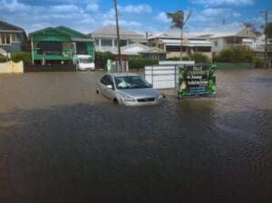
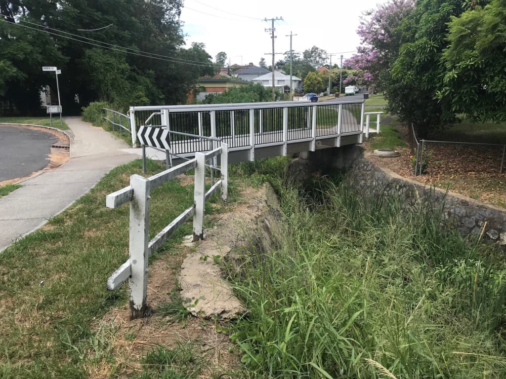
As part of a rolling renewal process, Brisbane City Council is replacing the existing wooden pedestrian bridges including the bridge at Hay Street in Mitchelton. The objective of this project was to undertake hydraulic modelling and flood impact assessment to inform the design of the new bridge.
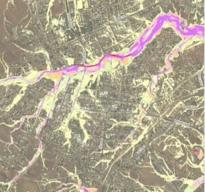
Existing 1D hydraulic models (HECRAS and MIKE 11) were used to inform the development of a new 2D hydraulic model (TUFLOW). The TUFLOW model was then validated to the existing 1D models before being used to simulate the existing and design bridges for a range of design storms. Modelling for several iterations of the design bridge were undertaken with the model results used to inform the design process. Modelling of the final design indicated a general reduction of flood levels to properties upstream and adjacent to the bridge.
Related Projects
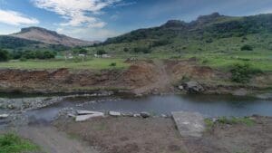
Charters Towers Retention Basin Modelling
Hydraulic Design of Viti Levu Bridges
Design of Drummond Creek Floodway