Marshall Precinct Stormwater Management Strategy | WMS Engineering
Marshall VIC, Australia

Marshall Precinct Stormwater Management Strategy

The primary aim of the SWMS is to investigate the impact that the transition from rural residential land uses into predominantly urban, residential development will have on surface water within and beyond the PSP boundary.
Blake Boulton
Questions? Get in touch today.
Blake Boulton

Client

City of Greater Geelong

Scope

Modelling, planning and design to investigate the impact a transition of rural residential land into urban residential land will have on surface water within and beyond the Marshall Precinct

Impact

Finalised drainage strategy considering a range of aspects and constraints
Blake Boulton
Questions? Get in touch today.
Blake Boulton

Client

City of Greater Geelong

Scope

Modelling, planning and design to investigate the impact a transition of rural residential land into urban residential land will have on surface water within and beyond the Marshall Precinct

Impact

Finalised drainage strategy considering a range of aspects and constraints

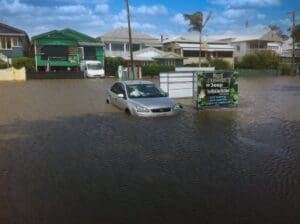
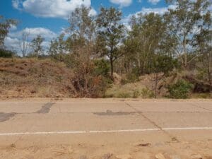
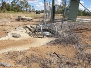
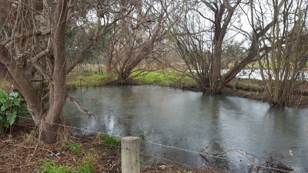
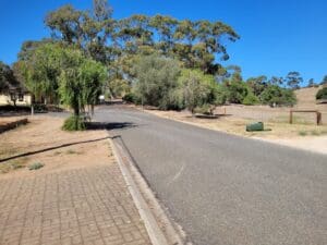
WMS delivered a drainage strategy for the Marshall Precinct Structure Plan in Greater Geelong in 2019. This project was delivered in partnership with the City of Greater Geelong and Alluvium. The Marshall Precinct is located within the City of Greater Geelong (CoGG), approximately 8 km south of the Geelong Central Business District (CBD).

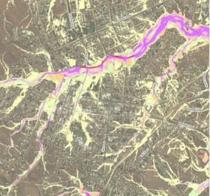
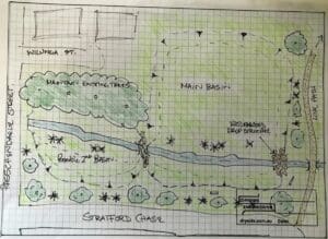
This Stormwater Management Strategy (SWMS) was prepared to inform the development of the Marshall Precinct Structure Plan (PSP). The primary aim of the SWMS is to investigate the impact that the transition from rural residential land uses into predominantly urban, residential development will have on surface water within and beyond the PSP boundary. The study involved complex hydrological and hydraulic modelling using an ensemble approach which was then used to assess a range of surface water mitigation options for the site. 

Marshall Precinct
Reserve Road culverts at the intersection of Drews Road (looking south)
Marshall Precinct
Pond adjacent to 32 Horseshoe Bend Road

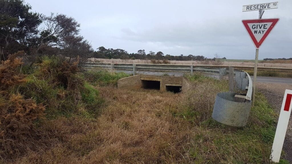
The project outcome was a delivered drainage strategy considering existing topography and drainage alignments and assets, the proposed urban layout and upstream and downstream constraints.

Related Projects

Gatton flood map
Toowoomba Regional Council

Stormwater Catchment Modelling, Planning and Design for Gatton

WMS, in conjunction with RMA Engineers, were commissioned to undertake stormwater catchment modelling, planning and design for the township of Gatton.
Noosa Aerial photo
Sunshine Coast Council

Sunshine LGA Road Immunity Analysis

Semi-automated Tool Development
murray basin
NSW Department of Planning, Industry and Environment (DPIE)

Murray Land & Water Management

NSW DPIE engaged WMS to update the Murray LWMP salinity modelling framework using contemporary platforms
Washpool
Rockhampton Regional Council

Washpool Road Preliminary Design of Stormwater Infrastructure

WMS was engaged by Rockhampton Regional Council to identify and prioritise Council’s plan for future trunk infrastructure (PFTIs) for the Washpool Road area.
Hay Street Pedestrian Bridge
Brisbane City Council

Hay Street Pedestrian Bridge Replacement

The objective of this project was to undertake hydraulic modelling and flood impact assessment to inform the design of the new bridge.
Water Level @ Bendigo Creek, Bay Street Golden Square
City of Greater Bendigo Council

Kangaroo Flat and Golden Square Flood Mitigation Study

A wonderful collaboration between government bodies, experts and the community that delivered effective solutions to mitigate future flood events.
Pallamallawa and community involvement
Moree Plains Shire Council

Pallamallawa Levee Design Review

WMS partnered with Dryside Engineering to deliver the Pallamallawa Northern Levee Second Design Review