Murray Land & Water Management

Client
Scope
Impact
Client
Scope
Impact
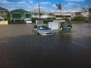
The Murray Land and Water Management Plan (LWMP) Salinity Register is due for review as part of Basin Salinity Management (BSM) 2030 strategy. As an initial stage of this review, the NSW Department of Planning, Industry and Environment (DPIE) engaged WMS to update the Murray LWMP salinity modelling framework using contemporary platforms.
The modelling framework consists of eight linked sub-models, each modelling the key processes driving flow and salinity within the irrigation districts in the NSW Murray; Wakool, Denimein, Cadell, and Berriquin.
WMS upgraded the Fortran-based sub-models to Python-based models. The model folder structure and naming conventions were also changed to ensure consistency and the modelling process was automated as much as possible to reduce the risk of human error. The IQQM River System sub-model was also updated to incorporate the outputs from the Python-based sub-models.
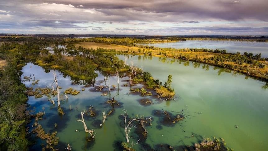
The updated sub-models were then validated against the corresponding Fortran sub-model results and against results reported originally. The updated salinity review provides insight on salt exports from the NSW Murray Riverina Irrigation Districts which eventually affects the salinity of the Murray River at Morgan, South Australia.
Want to discuss a similar project? Get a quote today.
Get a Quote
Related Projects
Kangaroo Flat and Golden Square Flood Mitigation Study
McKinnon Creek Detention Basin Failure Impact Assessment
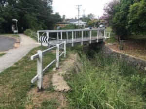
Hay Street Pedestrian Bridge Replacement